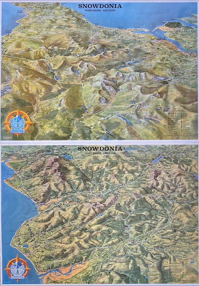
Snowdonia: Northern and Southern Sections
Gloucester, ENG: Contour Designs, 1980. 2 color maps [43 cm x 60 cm] / [17" x 23.5"] (each) Both maps in nice condition, Item #8687
Charming bird's eye maps of the national park in northwestern Wales that contains all fifteen peaks in Wales over 3,000 feet. Map locates waterways, roads, trails, campsites, corrals, hostels, railways, settlements, and other useful information for the prospective visitor.
Price: $100.00