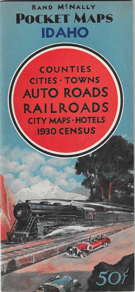
Rand McNally Pocket Maps of Idaho for Tourist, Travelers, Shippers General Commercial and Business Reference
Chicago: Rand McNally & Company, 1931. Color map [71 cm x 55 cm] / [24 1/2" x 21 1/2"] that folds-out of illustrated color wrappers. [23pp] Octavo [23.5 cm]. Covers and map are fine. Item #6500
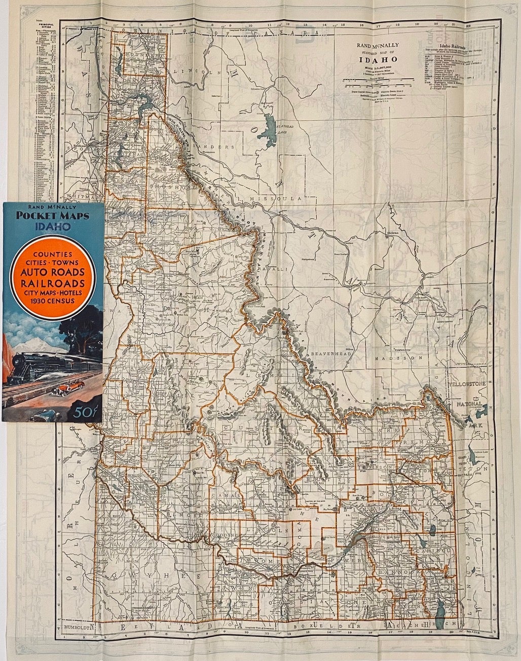
Index book contains a general description of Idaho, with attention being paid to the physical features, parks, rivers, lakes, mountains, counties, towns, transportation options, a hotel guide, and four small maps (Boise, Lewiston, Pocatello, Twin Falls). The alphabetical town index includes locating coordinates, population numbers, and county information.
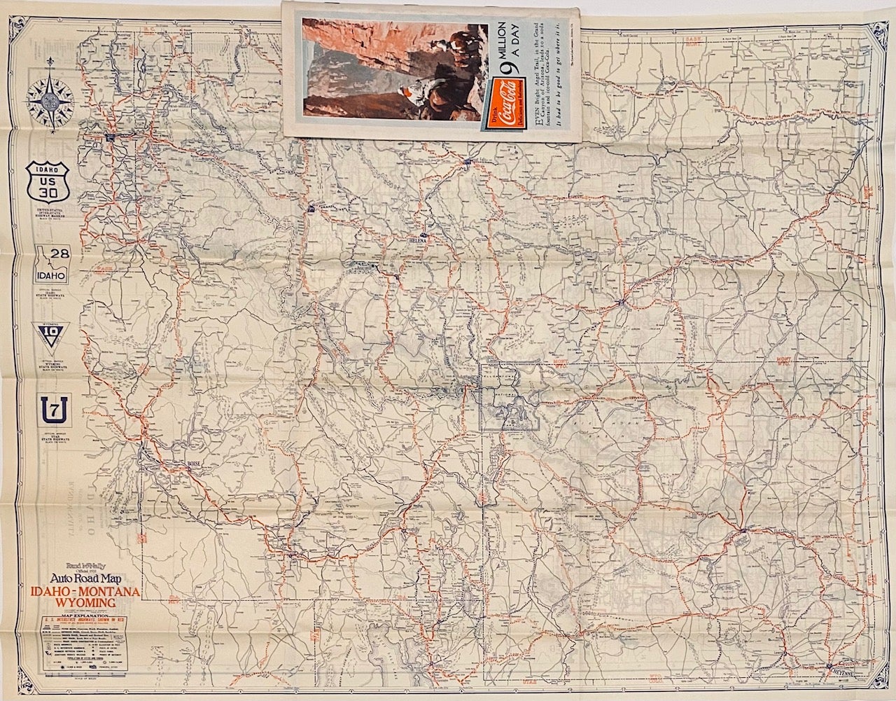
Map locates towns, county boundaries, mountains, waterways, and roads. Reverse prints a map of Idaho, Montana, and Wyoming, that locates same.
Price: $80.00