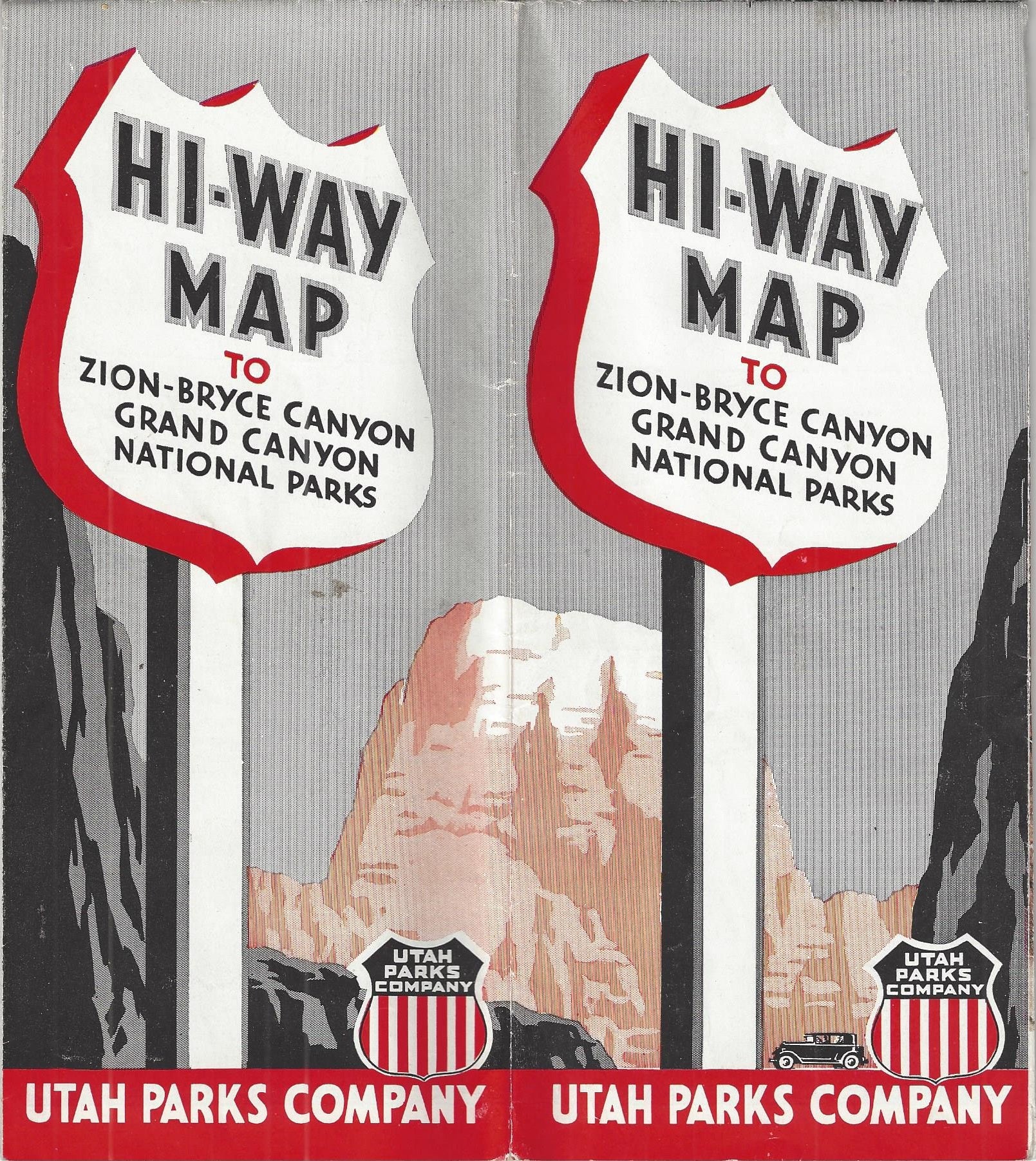
Hi-Way Map to Zion-Bryce Canyon-Grand Canyon National Parks
Chicago: Rand McNally, [1946]. Single sheet [46 cm x 81 cm] that folds up to [23 cm x 10 cm] pamphlet size. Printed in red, blue and black. Very good. Folds as issued. Gentle overall wear. Item #5277
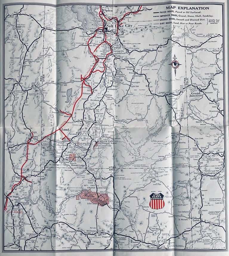
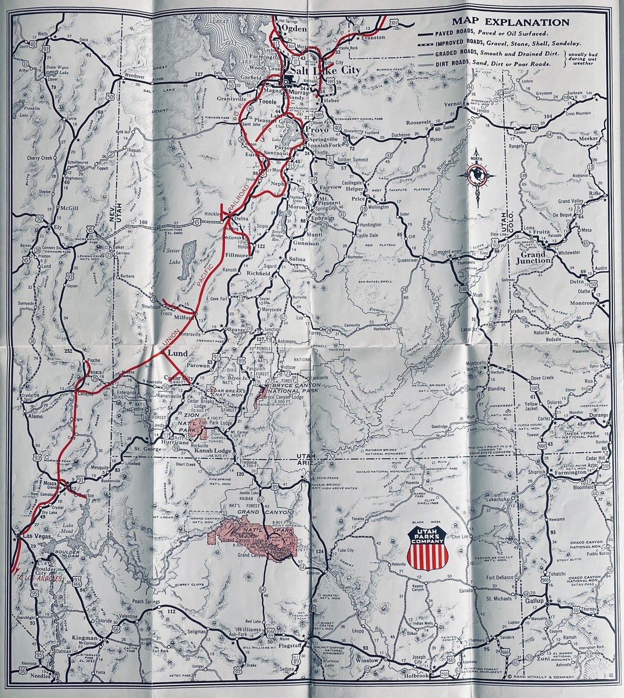
One side features a nice map [43 cm x 385 cm] that shows the Union Pacific Routes and roads through Utah and Northern Arizona. To the right are descriptions of the lodges and camps run by the Utah Parks Company in Zion, Bryce Canyon, Cedar Breaks and the North Rim of the Grand Canyon. To the left is a description of tours offered by Utah Parks Company and rates for 1946. Reverse prints a variety of color views of the Parks and sites one would see on a guided trip.
"This folder contains a map showing the principal highway approaches to Zion, Grand Canyon and Bryce Canyon National Parks, and Cedar Breaks National Monument, and is presented to motorists by the Utah Parks Company to assist those who are driving to these scenic wonderlands."
Produced to promote trips from the Utah Parks Company, which was a subsidiary of U.P., that ran guided loop tours of the parks and monuments of southern Utah and northern Arizona.
Price: $65.00