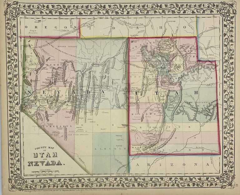
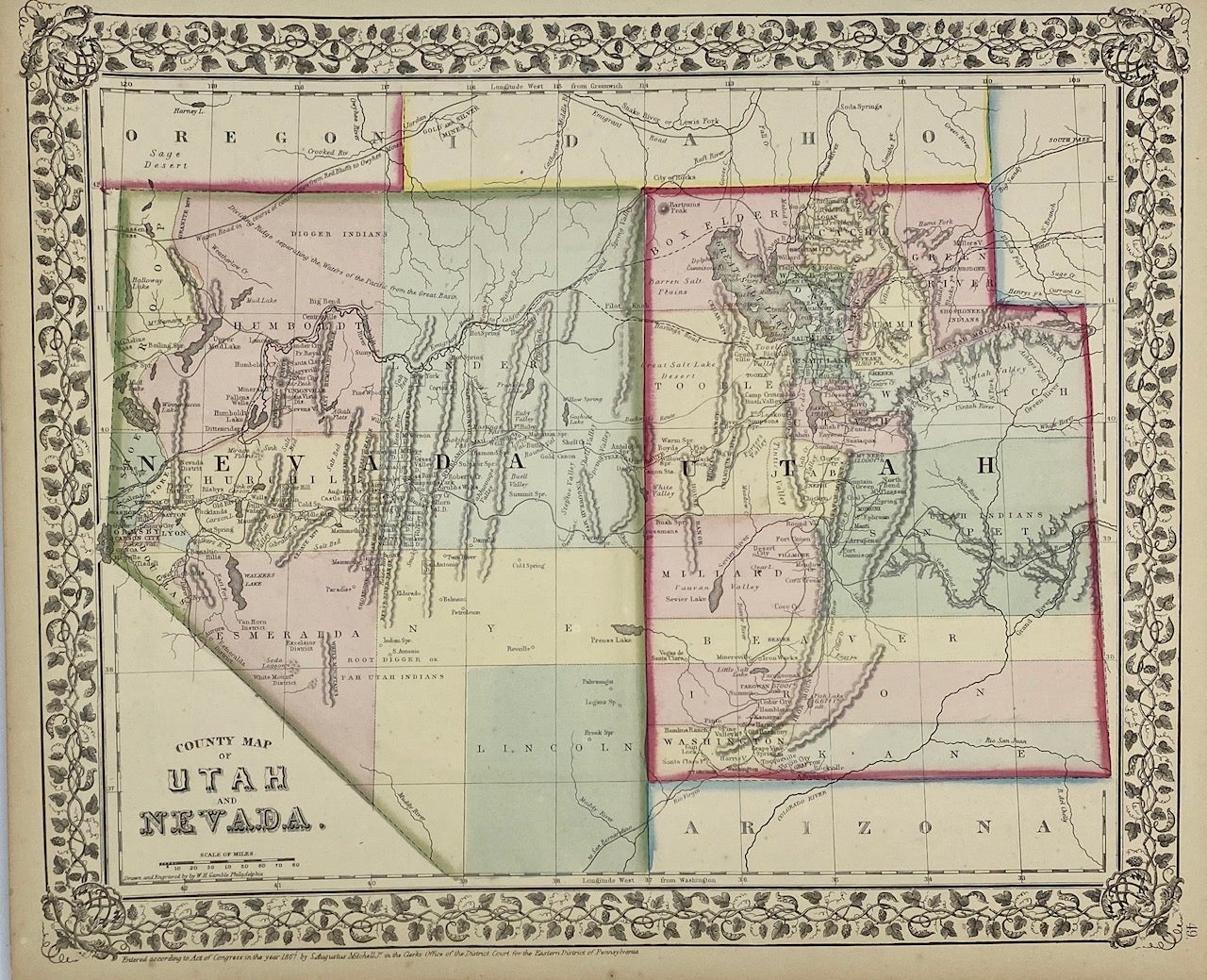
County Map of Utah and Nevada
Philadelphia: S. Augustus Mitchell, 1867. Map [25 cm x 32 cm] on a single sheet [31 cm x 38 cm]. The territorial boundaries and counties have been hand tinted and the map is within a decorative printed border. Colors are bright. Minor age toning to extremities with a few small nicks. Item #4324
A nicely colored county map of the territory of Utah and the state of Nevada that locates the (unfinished) U.P. / Central Pacific line, California Trail, Hasting's Cutoff and Gunnison's route. Kane County is shown but not Piute, Sevier or Rich. Green River County is located within Utah (Wyoming was established in 1868). Camp Floyd is labeled 'Camp Crittendon.' From Mitchell's New General Atlas. Moffat 88. Wheat 1205. Phillips 3563a.
Price: $100.00