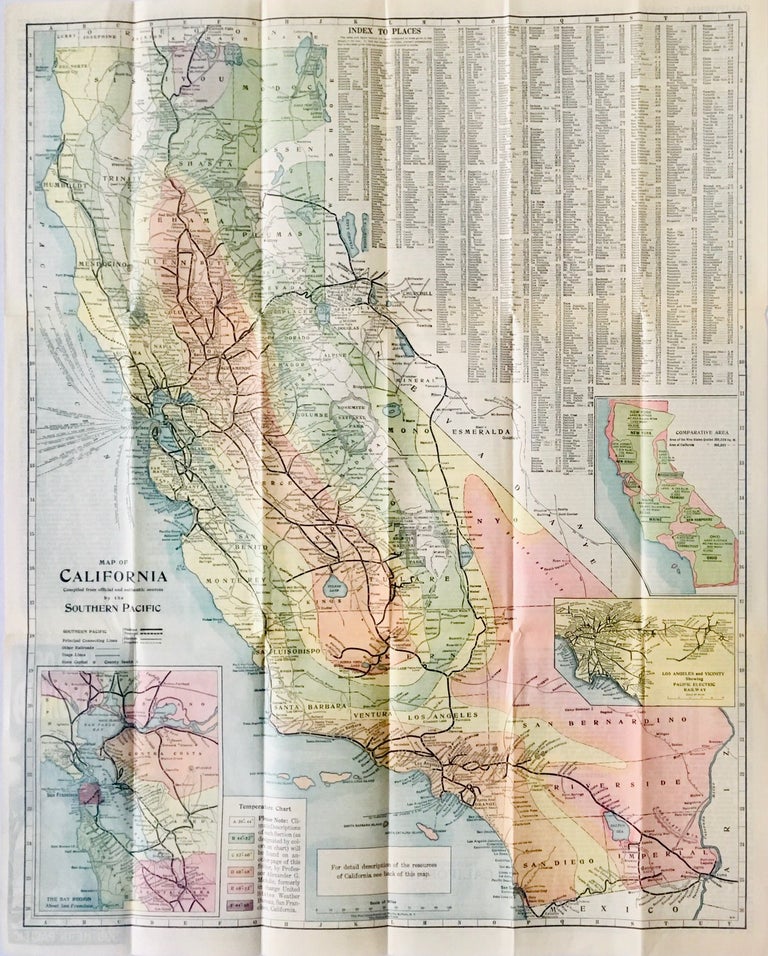
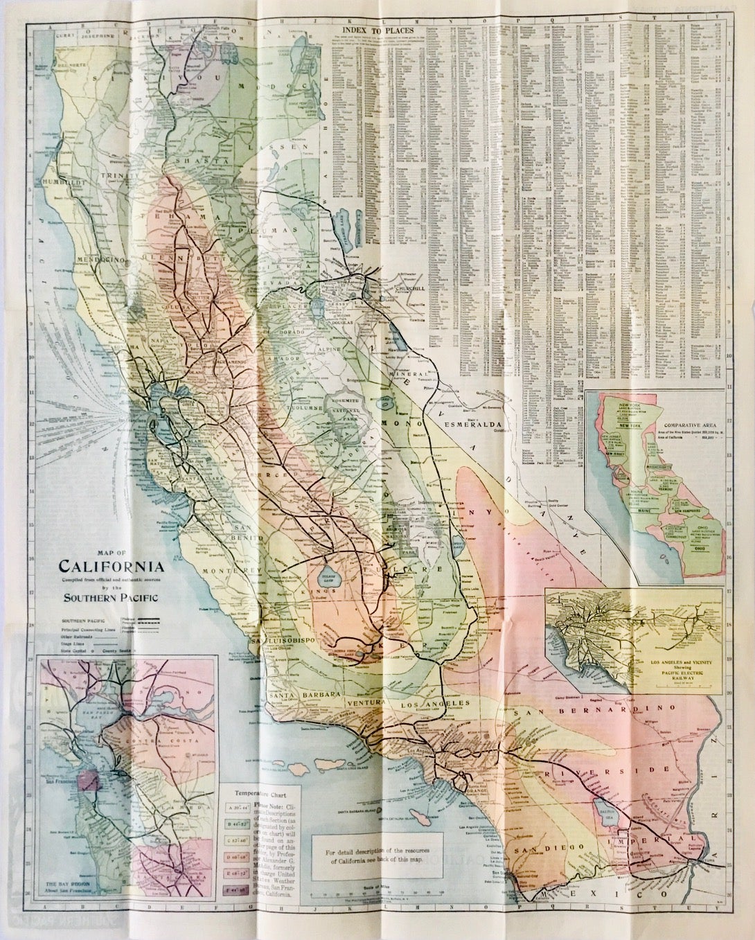
Map of California. Compiled from official and authentic sources by the Southern Pacific
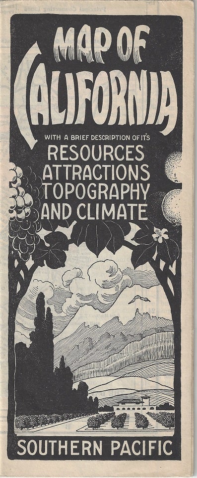
Buffalo: The Matthews-Northrup Works, [1922]. Color map [65 cm x 52 cm] on a single sheet [69 cm x 56 cm] printed on both sides and folds to pamphlet size [23 cm x 9 cm] Very good. Folds as issued. Item #3527
Large map color map of California that locates the Southern Pacific rail lines. Printed over Nevada is an index to places in California and the adjacent border towns of Nevada. Three inset maps 'The Bay Region About San Francisco' [18 cm x 13 cm]; 'Los Angeles and Vicinity Showing Pacific Electric Railway ' [8 cm x 13 cm]; 'Comparative Area' [14 cm x 10 cm]. Reverse contains "A Brief Description of its Resources, Attractions, Topography and Climate" over 15 numbered panels.
"It is worth while to know the California of today, to know what you can do in it; what money you can make, and what comfort you can find in it; what home life it offers. New opportunities await the newcomer because new activities are developing. Irrigation has made the great valleys attractive and created farms and town where only ranches existed."
Price: $100.00