Atlas of the Lewis & Clark Expedition
Lincoln, NE: University of Nebraska Press, 1983. First Edition. 126 facsimile maps. Folio [51 cm] Blue cloth with gilt stamped titles to the front board and backstrip. Very good. Gentle sunning to extremities and backstrip. Item #2981
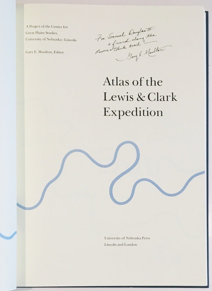
When the Corps of Discovery left the vicinity of St. Louis in 1804 to explore the American West, they had only sketchy knowledge of the terrain that they were to cross - existing maps often contained large blank spaces and wild inaccuracies. William Clark painstakingly mapped every mile of the journey, drawing from both direct observation and from the reports of Indians and fur traders. On their return Lewis and Clark directed the execution of new maps detailing with remarkable accuracy the features of the country that they had traversed. Inscribed by Moulton on the title page.
Price: $350.00