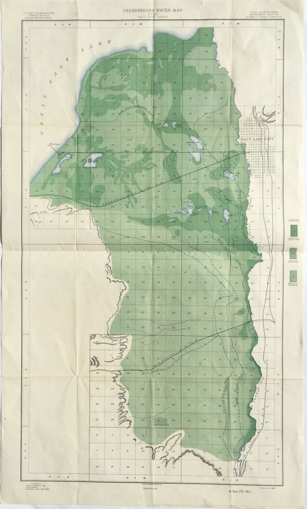
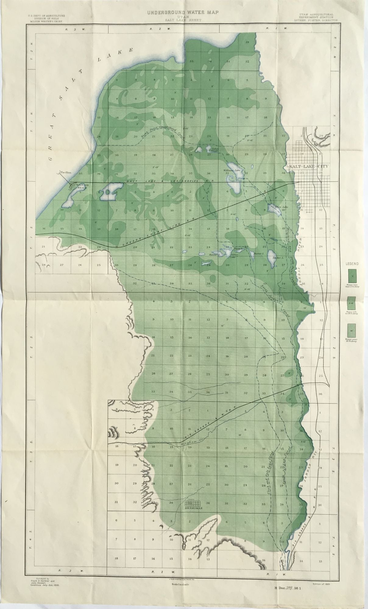
Underground Water Map - Utah - Salt Lake Sheet
Baltimore, MD: Hoen & Co. Map [76 cm x 43 cm] printed in black, light blue, light green and green. Fold across the center. Item #1257
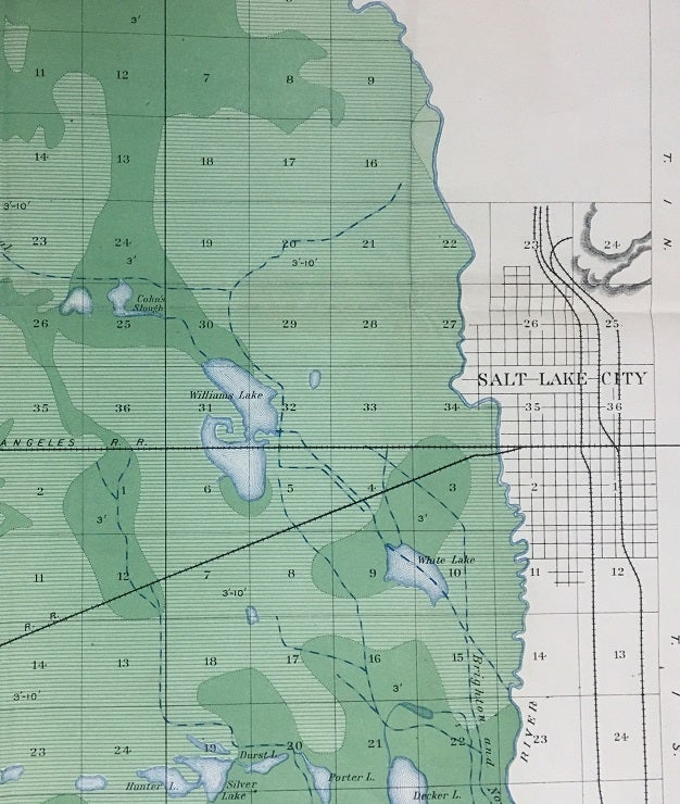
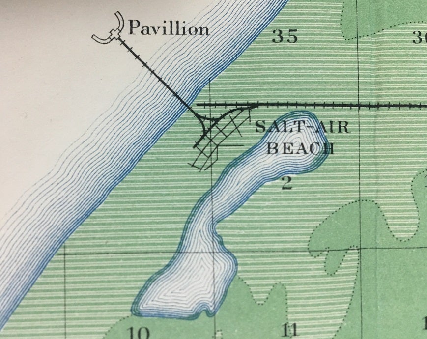
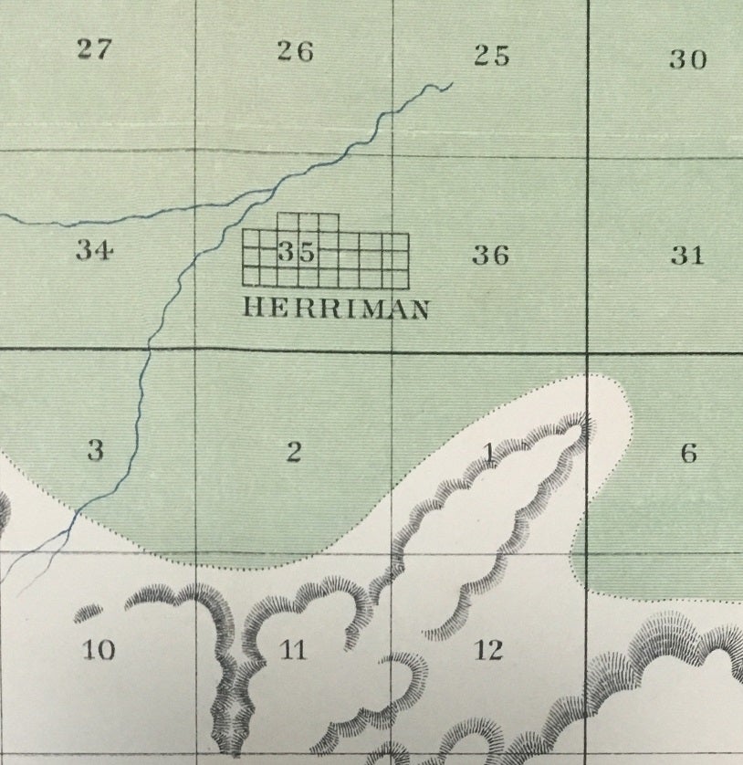
The legend identifies the water depth along with the underground water of the Salt Lake Valley, this map also locates canals, shallow surface lakes, the Jordan River; the towns of Salt Lake City and Herriman. the Saltair pavilion and beach and the lines for the Rio Grande & Western, the Oregon Short Line and the Salt Lake & Los Angeles. Produced by the Utah Agricultural Experiment Station. Surveyed by Frank D. Gardner and John Stewart between July and October of 1899. Uncommon. We locate six institutional holdings. Moffat 298.
Price: $75.00
See all items in
Map
See all items by Frank D. Gardner, John Stewart