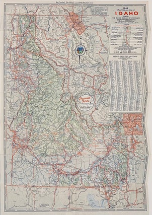
Official Highway Map of Idaho
Chicago: Rand McNally, 1948. Single sheet [68 cm x 46 cm] / [27" x 18"] that folds to pamphlet size [23 cm x 10 cm] Better than very good. This detailed color map locates the major roads, highways, towns, forests, geological features, mountains, waterways, parks, monumnets, etc., etc. County boundaries..... More